The Storm Is Coming
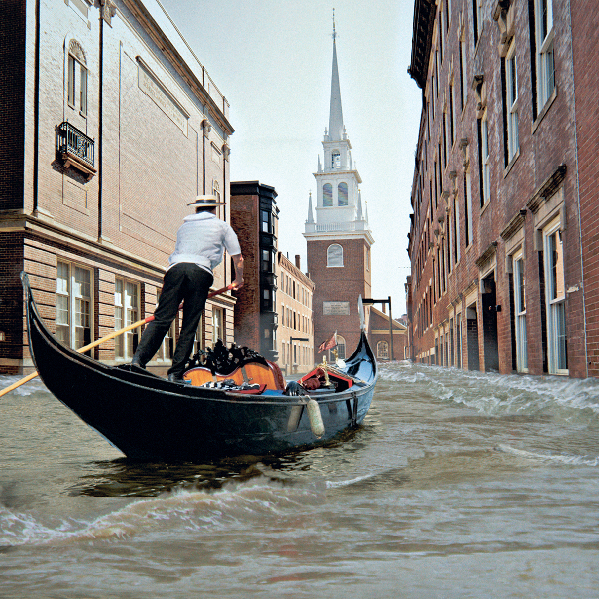
It may not be Venice (yet), but parts of Boston are particularly vulnerable to flooding. / Sources: iStockphoto, 123RF
Boston came terrifyingly close in 2012. Although Sandy caused catastrophic damage to many oceanfront homes and properties along Massachusetts’ southern coast, by the time the storm surge reached Boston the tide was low, so it went mostly unnoticed. If the surge had arrived a few hours earlier, coinciding with high tide, we would have had severe flooding.
Of course, we won’t always be so lucky. Even if no sea-level rise occurs, there is an almost 20 percent chance that a 5-foot flood will happen during the next 20 years. More-extreme floods are also possible. For close to 30 days of every year in Boston, high tides are one and a half feet or more above their normal level—here, they’re known colloquially as wicked high tides. If an especially big storm surge hit on one of those days, we could get a 7-foot flood, an event that could look a lot like Sandy. The chances of a 7-foot flood are low today. But as sea levels rise, the odds will get worse. The question is how much worse they’ll get, and how soon.
When Jeff Immelt, the CEO of General Electric, finally picked a city for his company’s new headquarters, he had two employees make a couple of calls. Jeffrey Bornstein, GE’s chief financial officer, reached out to Governor Charlie Baker. At the same time, Ann Klee, who had led the search for GE’s new location, rang Mayor Marty Walsh. Boston, the two executives relayed, had prevailed over New York and other cities in the great GE pageant and would become home to one of the world’s 25 biggest companies. It was a triumph for the governor and the mayor, so far among their signature achievements.
In all the excitement, though, one pesky fact has gone mostly overlooked. The property GE bought for its new headquarters, on the banks of the Fort Point Channel, has close to the highest flooding risk of any habitable city land. The story of how GE chose it encapsulates the bind political leaders find themselves in when it comes to planning for flooding in Boston.
As part of Massachusetts’ sales pitch to GE, officials presented the company with a menu of attractive sites. During one of GE’s first visits, Jay Ash, the state’s secretary of housing and economic development, organized a bus tour of potential locations in Cambridge, Somerville, Waltham, Weymouth, and several Boston neighborhoods, including the Seaport.
The Seaport quickly emerged as the frontrunner. Shirley Leung reported in the Globe that GE representatives and government officials rode an elevator up to the 30th floor of the Federal Reserve building near South Station to get a bird’s-eye view of the Innovation District. “They were able to peer down and see the bustle of cranes, brick warehouse buildings, and gleaming towers, all set along the waterfront,” Leung wrote. Back on the ground, they crossed the Summer Street Bridge and explored the neighborhood on foot. “It felt like exactly the place we wanted to be,” Klee, the head of the site-selection committee, said. Immelt was also charmed by his fellow captains of finance and industry. Jay Hooley, the CEO of State Street, spoke with Immelt as he weighed his options and said that Immelt “wants to be able to walk out of the building and be connected. He wants to be put in the flow of information and ideas.”
This was a remarkable moment. Here was the head of one of the world’s biggest companies deciding that he just had to be in the Seaport, a neighborhood that had been under water 100 years ago, and had consisted largely of parking lots and abandoned warehouses at the turn of this century. The Seaport’s seduction of Immelt seemed like a triumphant moment in the city’s campaign to turn the neighborhood into the Innovation District. But to climate scientists the area has another name: the Inundation District.
In most flooding scenarios, the Seaport is among the first parts of Boston to go under water. And the odds of flooding are even worse at the property GE bought on the Fort Point Channel. Once Boston Harbor rises 7.5 inches, which may occur within 15 years, the probability of flooding at GE’s site becomes alarmingly high. The chance of flooding will be 20 percent in any given year, or 89 percent over the course of a decade.
In climate-science circles, GE’s new site has raised a lot of eyebrows. On a flood map, I pointed out the location to Robert Young, a coastal geologist at Western Carolina University, who has advised cities about shoreline development and flooding. He was surprised. “That certainly looks like a crazy place,” he said. “We dumb-ass, redneck southerners always expect you Yankees to be more environmentally progressive, to integrate more science-based policy in your planning than we do down here. It’s always disappointing to me when that turns out not to really be true.”
During an interview, President Obama once called climate change “a political problem perfectly designed to repel government intervention.” He added, “It is a comparatively slow-moving emergency, so there is always something seemingly more urgent on the agenda.”
This is the perpetual bind political leaders find themselves in when it comes to preparing for climate-change risks, including sea-level rise: The exigencies of the present trump the risks of the future, however certain the dangers might be.
The bind affects decisions every day. One example of many: Morrissey Boulevard, an artery running the length of coastal Dorchester, lies so low that it already floods during those wicked high tides. A storm surge could put the road under several feet of water, cutting off an important evacuation route. The problem isn’t new: During the 1990s, the state promised to rebuild the road, lifting it above rising water. It still hasn’t happened. The state hasn’t even fully funded the design process, much less construction. At a time when public budgets barely accommodate maintenance, preparing for climate change often gets left out.
Unlike accessibility for the handicapped or pollution limits, climate-change preparedness is not mandated by law. For decades, many roads, skyscrapers, and tunnels have been built in Boston with scant attention paid to the dangers of sea-level rise. (A notable exception is the Deer Island waste treatment plant, which, when it was completed in the 1990s, was elevated several feet to account for projected sea-level rise.) Perhaps as soon as this month, the city will publish its very first report assessing all of these vulnerabilities. It will also tell us which systems are at risk (spoiler alert: almost all of them), but won’t specify which buildings, tunnels, and facilities are likely to be washed out. Scientific modeling, however, can give us a sense of the potential damage.
When a storm surge hits, water will first rush through East Boston, the Seaport, and parts of the downtown waterfront. It will make streets impassable and destroy electrical equipment stored in basements. It could also pour into tunnels, including on the T’s Blue Line. If the water keeps rising, as it did in New York during Sandy, the flood will spread. Water will flow inland, causing more damage, and breach neighborhoods including Charlestown. The tunnels of the Big Dig and electrical infrastructure could also be at risk. If the water rises even higher, the flood will expand until it reaches Faneuil Hall.
Like many other agencies, MassDOT got serious about flooding resilience only after Sandy. Last year, when scientists working for MassDOT created new flood maps, which updated those published by the BHA, they also issued recommendations to improve flood resilience. When I spoke to Steven Miller, a MassDOT environmental official, in April, almost a year after the recommendations were published, he told me that few had been implemented.
One recommendation called for MassDOT to buy temporary flood barriers that could protect the tunnels of the Big Dig. I asked Miller if money was included in MassDOT’s budget to pay for them. “We feel that can be accommodated [within the current budget],” he said. But then he added, “They’re pricier than I thought.” Where was MassDOT in the process of buying the flood barriers? I asked. “Very early,” he said. What would happen if the flood came tomorrow? Are the Big Dig tunnels ready? “One of the items we’re working on is a response to tunnel closure,” he said. “We haven’t got all the details yet.” He later said that MassDOT has begun developing a new plan.
The T’s tunnels are an even greater concern. Sandy destroyed New York’s subway system, and it’s still being fixed today; the heavily used L Train connecting Manhattan to Brooklyn will shut down for repairs for at least 18 months starting in 2019. But the MBTA still hasn’t published a study of the T’s vulnerability to flooding. Not that the system’s vulnerability is a matter of debate. Several times a year, water overtops a seawall during high tide and creeps within a few hundred feet of the Aquarium stop’s entrance. It is, for the moment, anyone’s guess how long it would take for the system to recover if a storm surge reached one of these stops and poured into the T’s tunnels.
At least two T stations in East Boston may be at even greater risk. The MBTA—which has plans to fortify a seawall in Charlestown to protect a bus garage—declined to provide details of its plans for protecting the subway system from coastal flooding. But, if New York’s response is any indication, the MBTA may construct temporary barriers when a severe storm is predicted. In New York, about half of the barriers—made of sandbags and plywood—worked. The rest were cast aside like flotsam.
In the private sector, resilient design features—such as installing mechanical equipment on the roof instead of in the basement, or elevating ground floors—are known to any architect or developer paying attention. GE, for one, announced in August that it would elevate the ground floors of some of its new buildings 4 and a half feet above street level. But such measures are not always mandatory. State building codes require only bare-bones flood resilience and don’t account for sea-level-rise projections, meaning that buildings constructed today need not prepare for the flooding risks they’ll certainly face in the future.