Snow Expected in Boston on Wednesday
The area could see up to 6 inches over night.
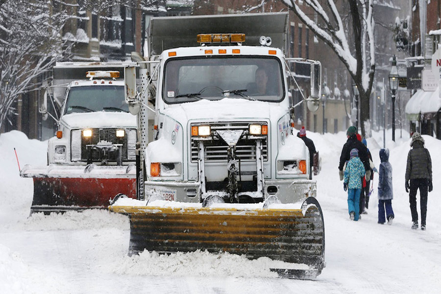
Photo via AP/Michael Dwye
Just as the lingering reminders of our bomb cyclone nightmare melted away, Boston is slated to be hit with yet another winter system.
The incoming storm is expected to dump between 4 and 6 inches of snow on Boston, while northern and western Massachusetts could see as many as 8 inches, according to the National Weather Service. The first flakes are slated to fall in Boston early Wednesday morning, just in time to disrupt school schedules and the ride to work.
The upcoming storm may seem like a dainty flurry in the aftermath of the monster known as bombogenesis, but forecasters predict the timing of the snow will wreak a bit of havoc. Snow is expected between 2 a.m. and 1 p.m. Wednesday before turning to rain. Though the system should move quickly, forecasters predict the “Wednesday morning commute will be slow going.” Sounds like a typical morning on the MBTA with a little added frozen joy.
This system seems like a spa day as compared to what we’ve already endured. Unlike the high tides, extraordinary flooding, and whiplash of extreme cold brought by the bomb cyclone, Wednesday’s weather will be accompanied by more mild temperatures. The high on Wednesday is 34 degrees (a sauna, basically), with a low of 20 degrees. Forecasts also indicate winds will hover between 3 and 5 miles per hour on Tuesday night and could hit a scorchingly speedy 7 miles per hour on Wednesday. You call that wind? That’s barely a breeze.
On the heels of a not-so-stellar winter performance, Keolis, the company that runs the commuter rail, has already prepared crews and resources in advance of the snow. The system’s platforms have been sanded and salted, and key infrastructure has been tested, David Scorey, the CEO and general manager of Keolis, said in a press release.
We’ll have to wait and see if the company’s encore is better than its first act this winter.