Healthy and Scenic Commutes in Boston
Photograph via Boston Globe/Getty Images
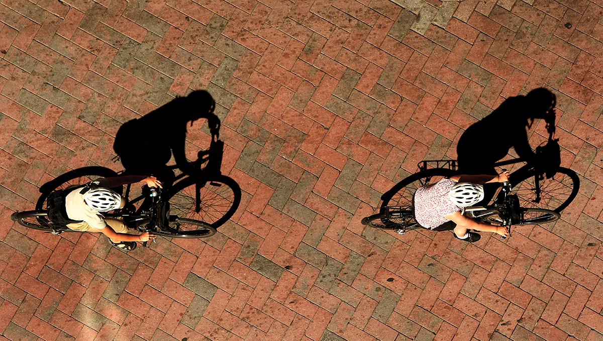
As disgruntled straphangers already know, July heralds the arrival of the MBTA’s price increases: Monthly LinkPasses will now cost $84.50, up from $75. Sure, fares are only going up $9.50 a month. But for those already sick of crowded-beyond-belief rush-hour journeys, that price bump may be just enough to get them to swear off public transit in favor of commuting by foot or wheel.
Another benefit of skipping the T? A smaller waistline. Ahead, a look at the calories you could burn along four different routes, plus three commutes with a view.
Your Commute Is .5 miles
Roughly Hynes Convention Center to Copley
Calories burned per round trip per day:
Walking: 90
Biking: 95
Calories burned per round trip per week:
Walking: 450
Biking: 475
Calories burned per round trip per year:
Walking: 23,400
Biking: 24,700
Your Commute Is 1 mile
Roughly Back Bay to Downtown Crossing
Calories burned per round trip per day:
Walking: 180
Biking: 190
Calories burned per round trip per week:
Walking: 900
Biking: 950
Calories burned per round trip per year:
Walking: 46,800
Biking: 49,400
Your Commute Is 3 miles
Roughly Savin Hill to South Station
Calories burned per round trip per day:
Walking: 540
Biking: 470
Calories burned per round trip per week:
Walking: 2,700
Biking: 2,350
Calories burned per round trip per year:
Walking: 140,400
Biking: 122,200
Your Commute Is 5 miles
Roughly Forest Hills to Downtown Crossing
Calories burned per round trip per day:
Walking: 900
Biking: 660
Calories burned per round trip per week:
Walking: 4,500
Biking: 3,300
Calories burned per round trip per year:
Walking: 234,000
Biking: 171,600
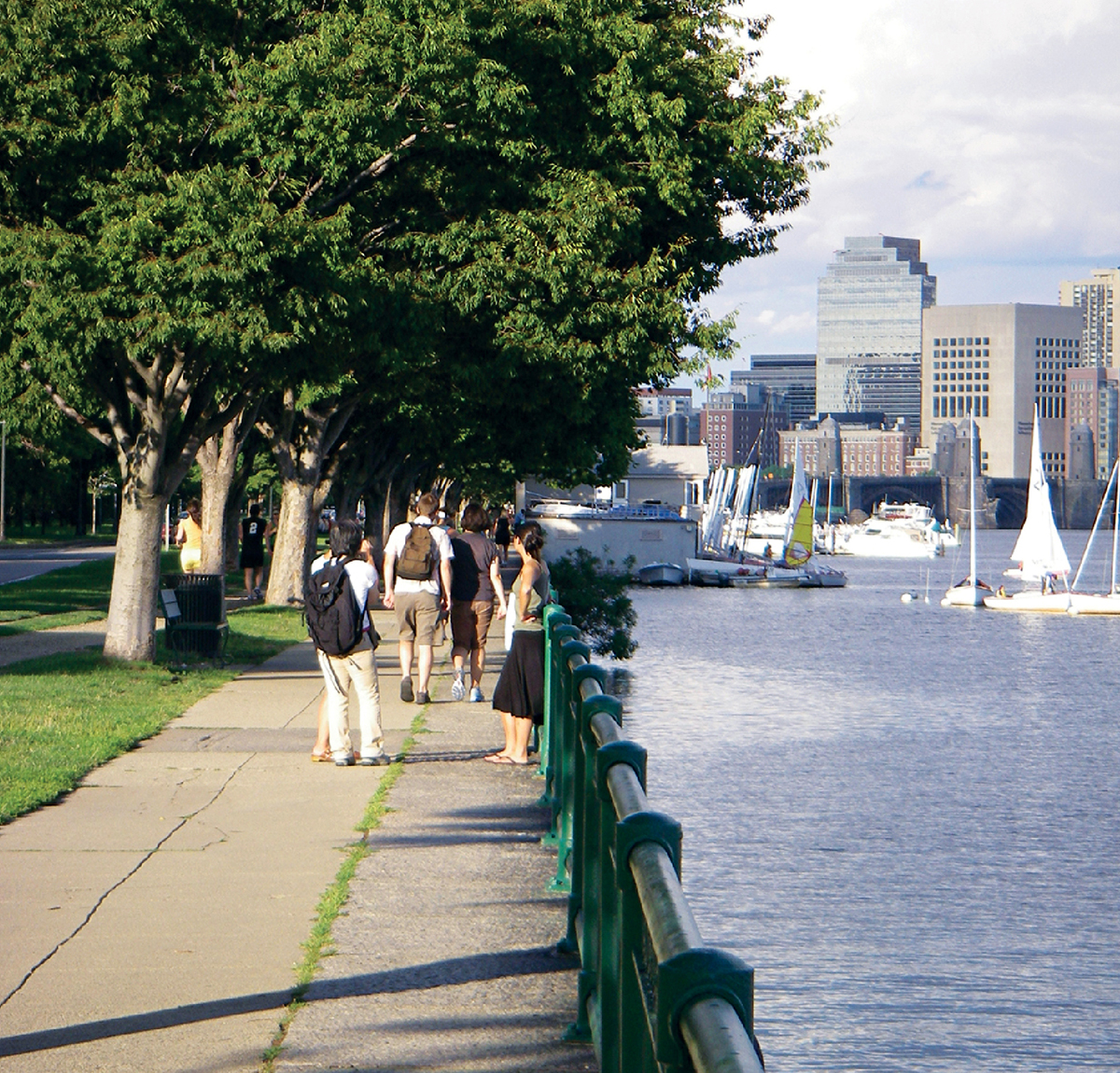
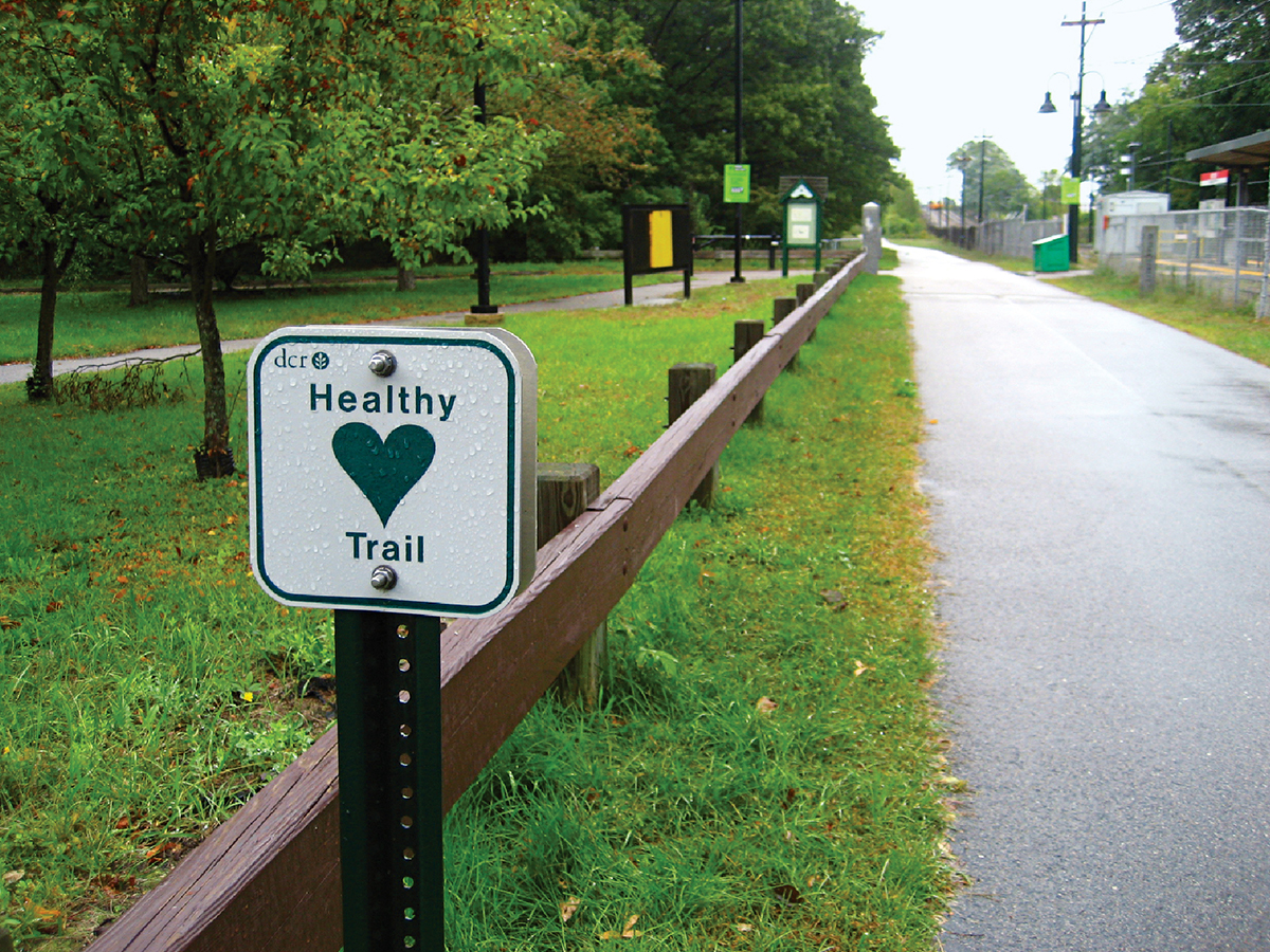
Commutes with a View
Take your trip off-road with three lovely routes that parallel oft-traveled T journeys.
Photograph by Susan Smith/Flickr
Paul Dudley White Bike Path
Trade the Green Line for actual greenery: This Charles River route stretches from the Museum of Science to Watertown Square.
Photograph by Smiling Cat/Flickr
Neponset River Greenway
Who needs the Red Line? This trail comprises a network of beautiful parks snaking through Dorchester, Hyde Park, Mattapan, and Milton.

Photograph by Connie/Flickr
Southwest Corridor Park
Run alongside 4.7 miles of Orange Line tracks, from Forest Hills to Back Bay. Bonus: The park will never get packed during rush hour.
Walking estimates are based on research from California State University at San Bernardino for 156-pound subjects. Biking estimates are based on Stanford University calculations for a 155-pound person. Actual calories burned will vary.