What’s the Best Mode of Transportation When Commuting From Somerville to Boston?
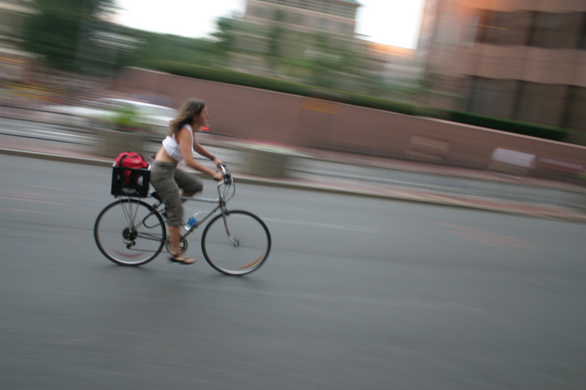
Photo via Flickr
Finding the best mode of transportation between work and home is a difficult task.
Driving can lead to sitting in traffic jams and taking on the infuriating chore of finding an ideal parking space, while traveling on the MBTA can mean spending 20 minutes with your face shoved into a stranger’s armpit. And if biking is preferred, navigating through cars on narrow roads can be risky, not to mention the chance of showing up to work sweaty. Whatever the travel choice, though, on May 7 a local transportation advocacy group will prove once and for all what the quickest commute to the city really is.
The LivableStreets Alliance, which promotes alternative modes of travel, and the Somerville Bicycle Committee, are teaming up to determine which method of transportation is the most efficient when going from Davis Square to South Station during peak travel hours for the second annual “Rush Hour Race.”
This year’s event will slightly change formats from last year’s inaugural experiment, where the race, from Davis Square to Kendall Square, featured a cyclist, driver, and T rider, by adding in a runner and inline skater. Last year, a cyclist proved it was easiest to navigate the streets of Greater Boston in order to get to work by taking a bike from Somerville to Cambridge during the busiest travel times in the morning, however, the travel route and destination may prove to be more difficult this time around.
According to Kara Oberg, program manager at LivableStreets, each participant has to follow the exact rules of the road, and cannot take shortcuts, in order to get to South Station. “All participants will safely follow the rules of the road. The participants who are biking, taking the ‘T’ and driving all live in the Davis Square area and work near South Station, so this is their regular commute,” she says.
A quick glance at Google Maps shows that taking the T from Davis Square’s Red Line stop to South Station takes approximately 20 minutes (ruling out the chance of a train delay). A bike ride, however, is calculated anywhere from 37 to 40 minutes, depending on the desired route, and a car trip could take just 17 minutes, but that’s excluding the excruciating morning traffic jams along Interstate 93, or through Somerville’s busiest sections. Unfortunately, there were no calculations for runners or inline skaters (if those even exist still).
The point of the race is to show that it’s important for cities, and local communities, to invest in alternate forms of transportation, including better walking routes, bike paths and upgraded public transit. “Providing and investing in safe, affordable and convenient opportunities for people … creates a livable and thriving city,” according to Jackie Douglas, executive director of LivableStreets.