Huge Winter Storm Looks Like a Bust for New England
Via National Weather Service
Snowmageddon? Hardly.
The first major snowstorm of the winter is blasting our friends in Washington, D.C. and New York City, but leaving most of New England snowless. The National Weather Service is projecting Greater Boston will receive no more than five inches of snow, if it receives any at all, from what the Weather Channel has dubbed Winter Storm Jonas. Still, don’t let the diminished returns from this storm get your hopes up if you’re a snow hater, because the storm is bringing dangerously high seas, creating the potential for some severe coastal flooding in areas.
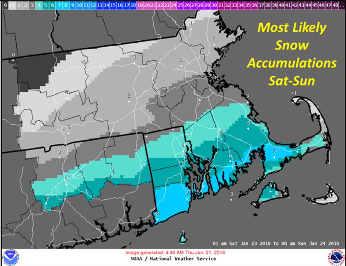
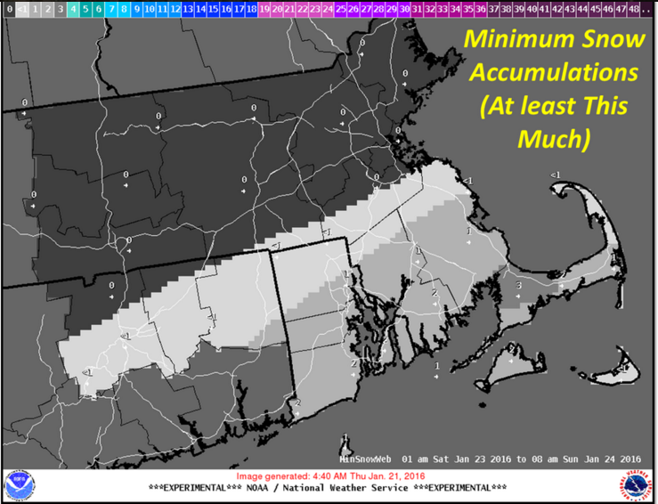
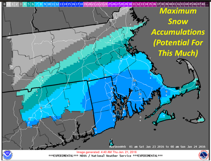
Portions of southeastern Massachusetts, particular the South Coast, will receive at most ten inches from Winter Storm Jonas. The North Shore is looking at no more than an inch of fresh snow this weekend. Here’s what the NWS is thinking right now:
 Scenario 1
If the storm tracks southward we’ll most likely end up with trace amounts of snow, if any, in most of New England.
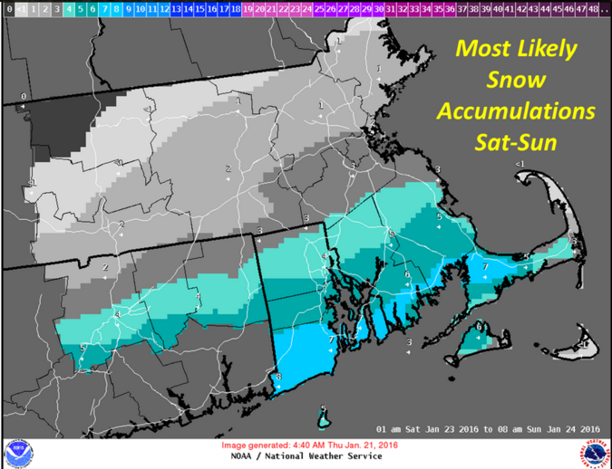 Scenario 2
This is what we will likely see if the storm continues on its currently projected path. In this scenario, the southeastern part of the state will see sizable and plowable snow accumulation.
 Scenario 3
If the storm tracks northward, we’ll really see some significant snowfall totals, but nothing crippling like what they are receiving in the Mid-Atlantic.
What does this mean for the New England ski resorts? Not much, unfortunately. We’ll let NECN meteorologist/Ski The East Snowcaster Tim Kelley break it down for you:
>
Of course, things could change, so pay attention to local forecasts. And maybe say a prayer for your friends in Washington, D.C., because this storm is going to drop over 30 inches of snow on them.