Winter Storm Watch Issued for Parts of New England
Boston is expected to get about 3 inches of snow on Wednesday.
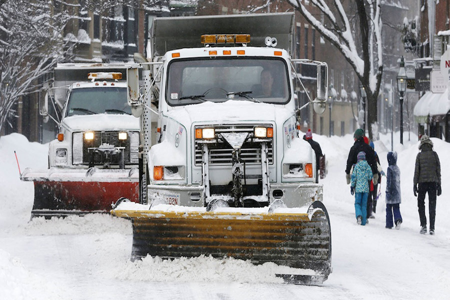
Photo via AP/Michael Dwye
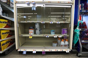
After Mother Nature rang in the new year with the lovely double-punch of dangerous cold and bombogenesis, the last few weeks have seemed mild by comparison. But if you’ve been lulled into complacency by this temperate spell, you’ve got a weather wakeup call in store.
The National Weather Service has issued a winter storm watch for Wednesday afternoon and evening in parts of southern New England. Northern and western Massachusetts are expected to see at least 6 inches of snow, and the New Hampshire-border region could be walloped with up to a foot. The National Weather service predicts Boston will get 3 inches of snow, while the Cape and Islands will remain predominantly dry.
[Wed] SNE is looking at a potential winter storm for Wed. A thump of snow is expected around 10-11am before warm air mixes into the region. A messy mix of snow, sleet, & rain is expected, with mostly snow near the NH border. Details: https://t.co/luQMM2B4gU pic.twitter.com/yW7vkFdi13
— NWS Boston (@NWSBoston) February 6, 2018
According to the Boston Globe, the storm system will dump heavy, wet snow before transitioning to rain at some point late Wednesday. The storm is unlikely to affect the morning commute, but it could throw a wrench into the evening rush.
Since 2000, February has been the snowiest month in the Boston area, according to the Globe. On average, 17.3 inches fall this month, as compared to 14.9 inches in January and 9.6 inches in December. Back in 2002, we only saw a measly half-inch during the second month of the year, which is a far cry from the dark days of February 2015, when the city was pummeled with 64.8 inches of snow. Just a 47 inch increase over the average that year, no big deal.
New England has a high probability of seeing a wetter-than-average mid-February, according to the National Weather Service forecasters. So while this storm seems like it should be relatively mild, those of you crossing your fingers for a snow day have a fair shot of that wish coming true soon.