Here’s NOAA’s First Guess at What Winter Has in Store for Boston
Don't give away your parka just yet.

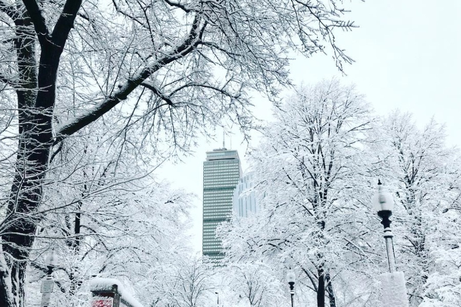
Photo via Mary Concannon on Instagram
As we switch on our heat, unpack our sweaters, and warily eye the holiday decorations in our basements, it’s hard not to start thinking about what winter could bring this year. While we’ve still got a ways to go, NOAA’s Climate Prediction Center has released its first “Winter Outlook” for New England—and it has good news for those who would rather not live in their parkas for three months straight.
According to NOAA, there is a 40-50 percent chance that Massachusetts—and much of the rest of the U.S.—will see warmer-than-average temperatures this December through February. While the NOAA prediction does not include any exact temperature predictions, you can get a sense of what exactly “average” means by looking at the NWS normal values for temperature, averaged from data collected from 1981-2010. According to that data, a typical winter day in Boston sees a high around 38 degrees and a low near 25, with 22.4 days across the winter that are below-freezing all day long.
Last year, Boston was warmer than normal as well. According to data published by the NWS on March 1, the average low last winter was a mere 26.6, and the average high was a positively balmy 41.1. There was even one day last February where temperatures at Logan Airport reached 65 degrees.
In a tweet, however, NWS Boston assured followers that, even with possibly higher temps, “we’ll have plenty of cold and snow” this year.
The @NWSCPC has issued their Winter Outlook calling for a decent probability of warmer than average temps in southern New England. Remember, this doesn’t mean you needn’t pull out your winter gear. We’ll have plenty of cold and snow, but may be warmer than normal on avg, Dec-Feb. pic.twitter.com/sL6ORe1D1K
— NWS Boston (@NWSBoston) October 17, 2019
The Winter Outlook’s predictions for precipitation are a little less conclusive. According to NOAA’s maps, New England has equal chances of seeing a wetter-, near-, or drier-than-average winter. For comparison, last year’s winter (which does not include a March snowstorm) dropped only 13.8 inches of snowfall, which was well below the normal value of 32.8 inches.
Because long-term climate patterns El Niño and El Niña are seeing “neutral conditions” this year, it’s difficult to predict what—if any—extreme weather events will occur. That will depend on shorter-term climate patterns, like the “Madden-Julian Oscillation” and “Arctic Oscillation,” which could bring big temperature swings and precipitation, but cannot be predicted until a couple weeks ahead of time.
Like all weather forecasting, seasonal forecasting is tricky, especially this far in advance—so maybe heed the wise words of our local meteorologists and think twice before you shut off your heat and donate all your winter gear to Goodwill.
“Don’t put too much stock into it,” NWS Meteorologist Hayden Frank says. “Please.”
NOAA’s Winter Outlook is updated each month, with the next update scheduled for November 21. Keep an eye out for it on the Winter Outlook homepage.

