Boston’s Longterm 2016 Winter Weather Outlook: Warm and Stormy
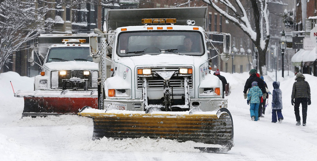
Plows clear Charles Street in Boston. Photo via AP
Our unusually warm winter will continue, according to the latest weather projections from the National Weather Service.
The El Niño system in the Pacific Ocean driving current global weather patterns has peaked, but its lasting effects will create not only warmer than normal temperatures but above-average precipitation levels, too. Don’t get too excited, though, because this does not mean we’re going to see only mild temperatures and showers until spring time. This past weekend, Boston saw its first significant snowfall all year, while southern parts of the state, such as Cape Cod and the Islands, saw over a foot of snow in some places. A precipitation-rich storm system powered by El Niño could collide with a cold front or Alberta Clipper to create another big blizzard for the region.
New England is not alone in experiencing this phenomenon. Above-average temperatures and precipitation levels are projected throughout most of the country until spring. Early indications are that this El Niño pattern is as strong as the one witnessed in 1997-1998 and immortalized by a Chris Farley skit on Saturday Night Live.
The Weather Channel explains the El Niño pattern as follows:
El Niño is an anomalous, yet periodic, warming of the central and eastern equatorial Pacific Ocean. For reasons still not well understood, every two to seven years, this patch of ocean warms for 9 to 18 months, then cools.
Now that El Niño has peaked, what does it mean for the rest of the year? Once El Niño fades away, we could see the rise of La Niña, a period of cooling in the Pacific Ocean.
Here’s AccuWeather.com explaining La Niña in more detail:
La Nina is described as cooler-than-normal sea surface temperatures in the central and eastern Pacific Ocean, near the equator off the west coast of South America. El Nino is like La Nina’s brother, the totally opposite and attention grabbing brother. This is described as warmer-than-normal sea surface temperatures in the same area of the Pacific Ocean.
The NWS will revise its outlook in the middle of February, usually our snowiest month, so don’t put your snow shovels and boots away just yet.